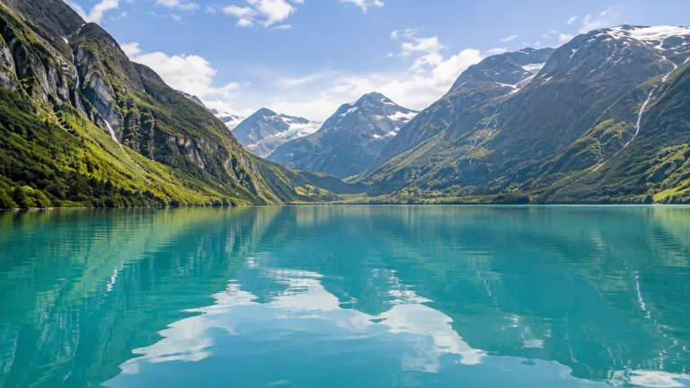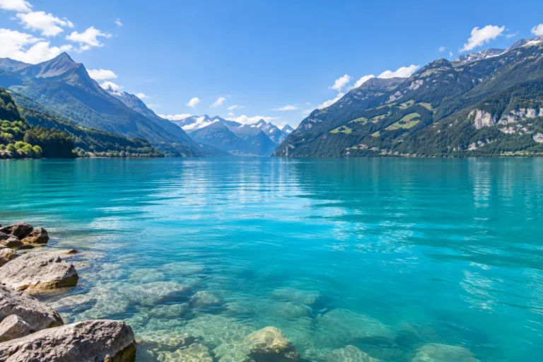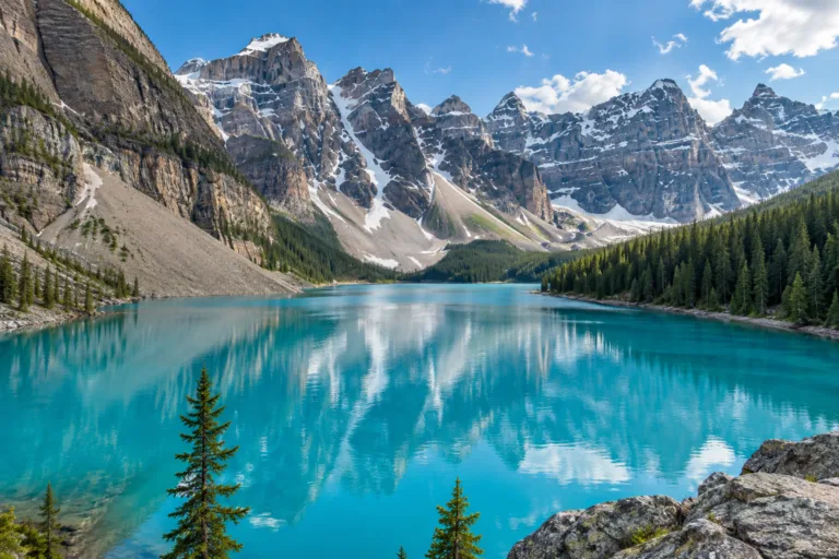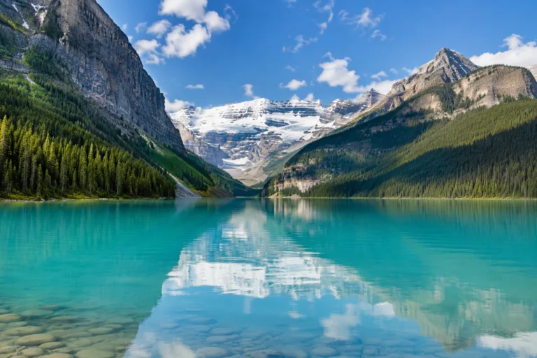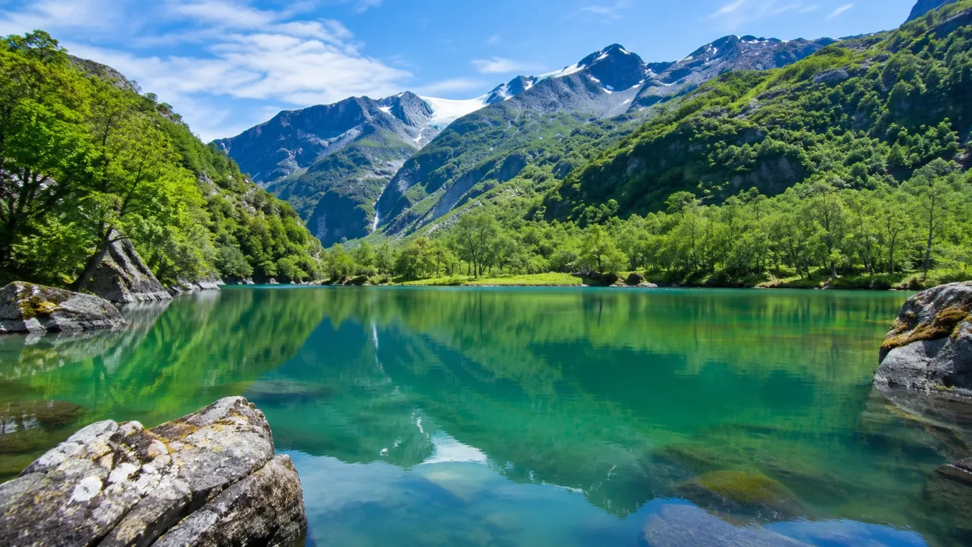
Turquoise-Green
Primary visual colorWhere Is Bondhusvatnet?
Vestland · Norway
Drag or zoom the real map. Verified shoreline geometry is highlighted with the lake’s LakeColors palette color when available.
Bondhusvatnet on the Globe
Rotate the world or focus directly on the lake.
Hydropower Changed the Sediment Route
Value: 77% after development
Provenance: Hydrological Report
Evidence: High
Value: No major overall before/after difference
Provenance: Hydrological Report
Evidence: High
Value: Below-intake Bondhusbreen area and Pyttabreen
Provenance: Hydrological Report
Evidence: High
Future Retreat Could Redirect Meltwater
Published 2022Subglacial topography indicates that continued retreat of Bondhusbreen may eventually redirect meltwater away from its present route toward Bondhusdalen; the timing is uncertain.
Bondhusvatnet is best described as turquoise-green, with its color tied to fine glacial sediment carried into the lake from the Bondhusbreen system. A Norwegian freshwater nature-types report uses Bondhusvatnet itself as an example of a turbid glacier lake whose suspended glacial sediments give the water a turquoise-green appearance. The available lake-specific evidence is descriptive and sedimentological rather than a wavelength, RGB, or month-by-month spectral record.
Fine Glacial Sediment Gives the Lake Its Turquoise-Green Cast
Bondhusbreen and the surrounding ice cap erode bedrock into very fine mineral material. Meltwater carries part of that material downstream, and the finer fraction can remain suspended in Bondhusvatnet instead of settling immediately. Norwegian freshwater classification work directly links suspended glacial sediment at Bondhusvatnet with the lake’s turquoise-green appearance and notes that glacier-lake color can shift toward gray as the concentration of rock flour rises.
No Bondhusvatnet-specific dominant wavelength, laboratory color coordinate, or continuous monthly color series is reported in the cited scientific and environmental material. Turquoise-green is therefore a source-backed visual classification tied to glacial sediment, not a fixed instrument color value.
Bondhusvatnet Is Also a Long-Term Sediment Basin
NVE describes a broad, unusually even lake floor and interprets it as evidence of long-running sedimentation. Coarser glacier-derived material is deposited on the outwash area and delta near the inlet, while finer suspended material can travel farther into the lake before settling. That sorting helps explain why the lake’s color story is connected to fine sediment in the water column rather than simply to the rocks visible along the shore.
A 2.5 m sediment core discussed in a 2022 peer-reviewed study adds a much longer record. Its upper 2 m are dominated by inorganic, partly laminated silt and clay eroded by the ice cap, showing that glacier-fed sedimentation has been a defining part of Bondhusvatnet’s later geological history.
Hydropower Altered the Route Without Eliminating the Sediment Supply
Hydropower development changed the Bondhusbreen drainage system by diverting much of the glacier-covered area that once drained toward Bondhusvatnet. NVE nevertheless found no major overall difference in suspended-sediment delivery when the compared pre-regulation and post-regulation periods were assessed. Sediment from the glacier area below the subglacial intake, input from Pyttabreen, and material associated with sediment-chamber flushing continued to feed the downstream system.
This matters for color because a smaller natural meltwater catchment does not automatically mean clearer water. The amount, grain size, routing, and timing of fine mineral sediment all influence how much suspended material can reach the lake.
The Clearest Seasonal Record Is About Sediment, Not Measured Monthly Color
Historical NVE monitoring in 1972 and 1973 concentrated on the melt-season transport period from early June to mid-September, when large quantities of suspended and bed material were carried from the glacier system. That record supports a summer sediment-transport window, but it does not establish a separate measured lake color for each month.
June through September is marked as a historical high-sediment period because sediment transport was measured during that window. The remaining months stay neutral where the available material does not support a Bondhusvatnet-specific monthly color state.
Glacier Retreat Could Change the Future Water Route
Subglacial mapping of Folgefonna identifies a bedrock threshold beneath the Bondhusbreen system. The 2022 study indicates that continued glacier retreat may eventually redirect meltwater away from the present northward route toward Bondhusdalen, although the timing remains uncertain and requires denser ice-thickness measurements and improved modelling.
Because Bondhusvatnet’s documented color mechanism depends on glacier-derived fine sediment, a future change in meltwater routing would also be relevant to the lake’s sediment and color regime. The study does not show that such a color shift has already occurred.
The May 2026 Glacier-Dammed Lake Is Not a Documented New Color Phase
Folgefonna National Park reported that a glacier-dammed lake formed at the edge of Bondhusbreen in May 2026 at roughly 1,350 m elevation. Sudden drainage could send a flood pulse toward the river and the delta at the far end of Bondhusvatnet, with rapid changes in water level and river course.
Such a pulse is relevant to a lake whose appearance is linked to glacier-derived sediment, but no persistent new Bondhusvatnet color state has been documented from the 2026 event in the cited material. It is better treated as a current hydrological development than as evidence of a new seasonal color.
Sources
- Kartverket — Bondhusvatnet Place-Name Record
- Norwegian Environment Agency / NORCE — Freshwater Nature Types Report M-2050
- NVE — Bondhusvatn Sediment Supply Before and After Regulation
- Frontiers in Earth Science — Folgefonna Subglacial Topography and Hydrological Changes
- Folgefonna National Park — Bondhusdalen Valley
- Wikidata — Bondhusvatnet Structured Geographic Record