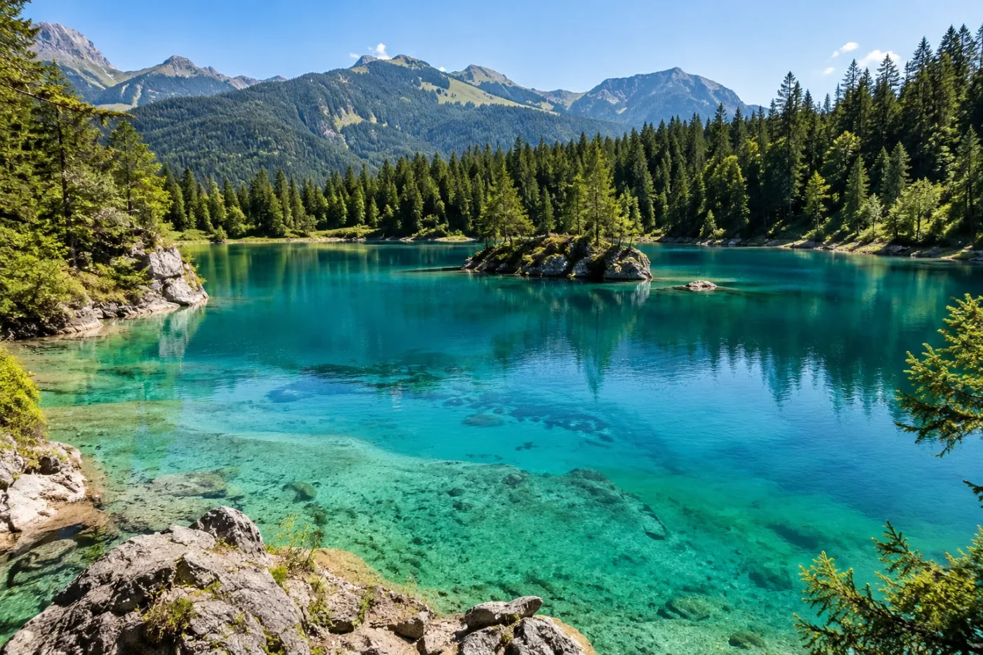
Turquoise Blue
Primary visual colorWhere Is Lake Cauma (Caumasee / Lag la Cauma)?
Flims, Graubünden · Switzerland
Drag or zoom the real map. Verified shoreline geometry is highlighted with the lake’s LakeColors palette color when available.
Lake Cauma (Caumasee / Lag la Cauma) on the Globe
Rotate the world or focus directly on the lake.
Why the Shoreline and Depth Move Through the Year
Lake Cauma is a surface window into groundwater stored in the Flims rockslide deposits, so its level follows changes in the local aquifer rather than a stable surface inlet.
Value: Late January to mid-May
Value: Generally begins in May
Value: July or August, depending on the year
Value: A gradual decline toward the following spring
A Tracer Test Confirmed the Hidden Connection
26 May 2006An eosin tracer introduced at Lag Tuleritg was first detected at Caumasee 168 hours later. The SISKA record gives a mapped distance of 625 m and an elevation difference of 18 m for that test.
Color Year and Water-Level Context
How the Turquoise Signal Is Maintained
How the Color Profile Is Supported
Claim-level supportFlims water-project material attributes the color to light scattering by inorganic suspended matter.
Wasserwelten Flims — Sinfonia d'auaEvidence: HighSISKA compiled lake-level measurements and the timing of the seasonal rise and decline.
SISKA and Gemeinde Flims — Water Pathways and Their Influence on CaumaseeEvidence: HighTracer tests, discharge observations and groundwater modelling connect Lag Prau Pulté, Pultébach, the rockslide aquifer and Caumasee.
SISKA and Gemeinde Flims — Water Pathways and Their Influence on CaumaseeEvidence: HighSwitzerland Tourism describes the apparent shift with changing incidence of light; it is not presented as a colorimetric measurement.
Switzerland Tourism — Lake CaumaEvidence: ModerateLake Cauma, also known as Caumasee or Lag la Cauma, is best described as clear turquoise-blue water that can look more emerald green as illumination changes. Its color is tied to light scattering by inorganic suspended matter, while its depth and shoreline move through a measurable annual groundwater cycle beneath the Flims rockslide deposits.
Inorganic suspended matter provides the turquoise-blue optical signal
Flims water-infrastructure material produced with local partners and SISKA attributes Lake Cauma’s turquoise-blue appearance to light scattering by inorganic suspended matter. The particles act optically in the water column; the source does not describe the lake as being dyed by a dissolved blue or green substance.
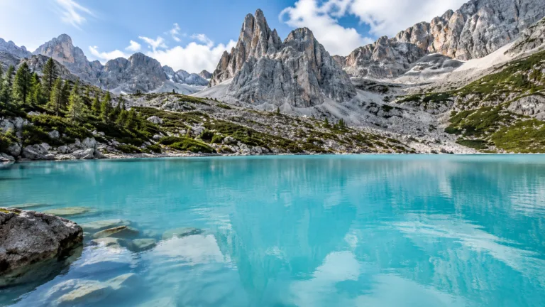
Reliable descriptions do not lock the lake to one visual swatch. Switzerland Tourism describes a shift from turquoise toward emerald green with changing incidence of light. Clear water, particle scattering, viewing angle, sky conditions and the contribution of the lake bed in shallow zones can all influence the color seen from shore or from above.
The published hydrology documents a strong seasonal water-level cycle, but it does not provide a month-by-month colorimetric series. A lower spring level should not be translated into a fixed “spring color,” and a summer high level should not be assigned a different hue without direct measurements.
The underground supply runs through the rockslide aquifer
The phrase “fed by underground springs” compresses a longer groundwater route. SISKA’s hydrogeologic report describes Lake Cauma as a visible window into groundwater held within the Flims rockslide mass. Its main supply arrives from Lag Prau Pulté through Pultébach; the stream infiltrates the porous landslide deposits and replenishes the local aquifer connected to the lake.
The report assigns about 70–90% of the lake-aquifer supply to this pathway, with local precipitation providing the smaller share. It also states that direct karst inflow into Lake Cauma itself is minor. The lake is therefore not a simple spring pool with one obvious vent: water is routed through mixed rockslide debris before it appears at the lake.
A tracer experiment gives the underground connection a concrete scale. On 26 May 2006, eosin introduced at Lag Tuleritg was first detected at Caumasee 168 hours later; the monitoring table lists 625 m of mapped separation and an 18 m elevation difference.
The lake can be several metres shallower before the summer refill
Lake-level measurements compiled by SISKA show a repeating annual pattern. The lowest values in the long record occur from late January to mid-May. The level then usually rises rapidly from May and reaches its annual maximum in July or August, depending on the year, before declining gradually toward the following spring.
The same monitoring record documents annual swings of roughly 4–5 m. The timing follows the groundwater system: Lag Prau Pulté behaves as an overflow outlet during snowmelt and during larger rain events, and the duration of that overflow helps control how long Lake Cauma continues to rise.
Changing level means changing depth over the same parts of the basin. At low stage, more pale shoreline and shallow bottom are exposed or lie close to the surface; at high stage, deeper water covers more of those zones. That can change the visual balance between bottom reflection and water-column color without proving that the water itself has undergone a seasonal chemical color change.
Water is added upstream to avoid disturbing the lake’s color
The Flims bypass tunnel intersected a major karst conduit in 2002, and later hydrogeologic work linked that change to reduced groundwater supply and lower Lake Cauma levels. The response was designed around the lake’s water chemistry rather than direct filling.
Graubünden’s approved supply concept diverts water from the Platt Alva stream, with Flem water available as a supplementary source, into Pultébach. The water then follows the infiltration route toward the rockslide aquifer instead of being discharged straight into Lake Cauma. Technical documentation for the system describes monitoring of turbidity, temperature, phosphate and water quantity so the added water does not impair the lake’s characteristic color and clarity.
The SISKA report warned that direct addition of unsuitable water could change carbon-dioxide behavior and add phosphorus that stimulates algal growth. Both processes could alter the lake’s visual character, so the recharge design preserves the underground pathway and controls water quality before it reaches the lake.
Sources