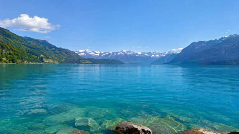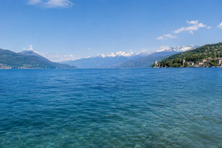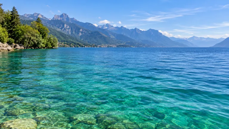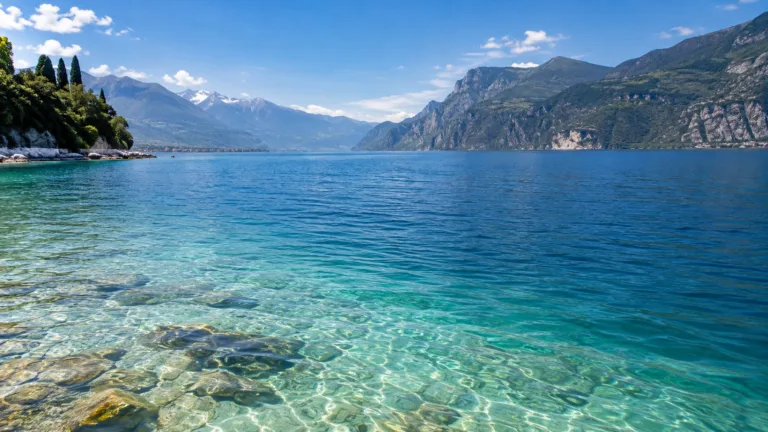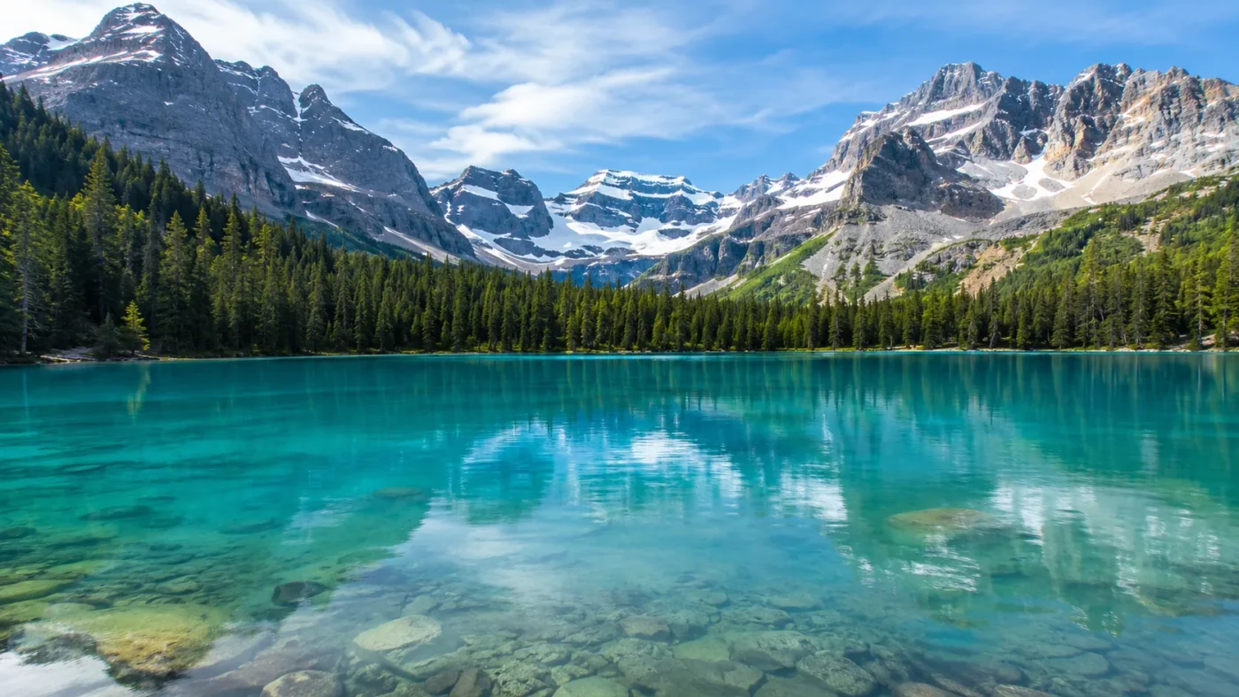
Turquoise
Primary visual colorWhere Is Lake O'Hara?
British Columbia · Canada
Drag or zoom the real map. Verified shoreline geometry is highlighted with the lake’s LakeColors palette color when available.
Lake O'Hara on the Globe
Rotate the world or focus directly on the lake.
Midsummer Transparency Stayed Relatively Stable Across Years
2006–2018Midsummer measurements at 320 nm during the 2006–2018 study period showed Lake O'Hara had the lowest interannual transparency variation among four nearby study lakes; Lake O'Hara was not measured in 2011. No tested precipitation window had a statistically supported relationship with O'Hara's Kd320, consistent with its mixed surface-water, groundwater, glacial-flour and CDOM inputs.
Value: 0.67 ± 0.10 m⁻¹
Provenance: Measured
Evidence: High
Value: 25 July–3 August
Provenance: Measured
Evidence: High
Value: UV transparency, not visible hue
Provenance: Peer Reviewed
Evidence: High
Value: No 2011 measurement
Provenance: Peer Reviewed
Evidence: High
Ice Cover and the Open-Water Color Window
What Supports the Color Profile
Claim-level supportThe lakeshore lodge currently describes Lake O'Hara's waters as turquoise.
Lake O'Hara LodgeEvidence: ModerateThe Geological Survey of Canada directly described Lake O'Hara as pale green and attributed the color to finely divided glacial sediment.
Geological Survey of Canada — Yoho National Park (1962)Evidence: HighA 13-year peer-reviewed transparency study identified both material sources in Lake O'Hara's catchment and hydrology.
Olson et al. — Meteorological drivers of interannual variation in transparency of mountain lakesEvidence: HighLake O’Hara is visually documented as turquoise and pale green, with finely suspended glacial rock flour providing the strongest mineral explanation for that appearance. Modern limnology adds another layer: the lake receives glacial flour, light-absorbing organic matter and substantial groundwater through several connected sub-watersheds, so its optical behavior is not controlled by one meltwater stream.
Turquoise Today, Pale Green in the Geological Record
Lake O’Hara Lodge currently describes the water at its shoreline as turquoise. A Geological Survey of Canada account published in 1962 used a different but nearby visual label, calling Lake O’Hara pale green and attributing that appearance to very fine rock flour suspended in the water.
Those two descriptions do not demonstrate that the lake changed permanently from green to turquoise. They come from different periods and use ordinary visual color language rather than standardized colorimetry. The older geological account is most useful for its direct link between suspended glacial sediment and the lake’s pale-green appearance; the current description establishes that turquoise remains a natural visual label for the lake.
The cited records do not provide a multi-decade visible-spectrum color series for Lake O’Hara. Pale green and turquoise should therefore be treated as documented visual descriptions, not as measured stages in a long-term color trend.
Rock Flour Is Only Part of the Optical Story
The Geological Survey account describes the classic glacial mechanism clearly. Moving ice grinds rock into extremely fine mineral particles. Meltwater carries the finest fraction into lakes, where particles can remain suspended long enough to change how light travels through the water. In Lake O’Hara, that material was identified as rock flour.
A later limnological study adds an important complication. Lake O’Hara receives water from several alpine and subalpine sources, including surface inflows and substantial groundwater. Its catchment includes glacier-influenced headwaters as well as coniferous forest, so the lake receives both glacial flour and chromophoric dissolved organic matter, or CDOM. The study identifies both as regulators of transparency.
Chromophoric dissolved organic matter is light-absorbing organic material derived from terrestrial sources. In Lake O’Hara it helps regulate transparency, but the cited research does not identify it as the primary cause of the turquoise appearance.
A Long Midsummer Record Shows Relatively Stable Transparency
Between 2006 and 2018, researchers measured ultraviolet transparency in Lake O’Hara and three nearby lakes during a midsummer index period. Lake O’Hara had the lowest interannual variation in the 320 nm attenuation coefficient, with a reported mean Kd320 of 0.67 ± 0.10 m−1. Lake O’Hara was not measured in 2011.
The same study found no statistically supported relationship between Lake O’Hara’s Kd320 and the tested precipitation windows. The authors linked that muted response to the lake’s mixed hydrology: glacial flour, CDOM, surface water and groundwater arrive through several pathways rather than one dominant source. That makes precipitation alone a poor proxy for predicting how transparent the lake will be in midsummer.
Kd320 measures attenuation of ultraviolet light at 320 nm. It is not a turquoise wavelength, an RGB value or a direct visible-color reading, so the measured transparency record should not be converted into an exact color value.
Ice Cover Defines the Annual Color Window
Peer-reviewed hydrology describes Lake O’Hara as ice-free from roughly June until October, while the later transparency study characterizes the regional study lakes as ice-covered from October to June. The overlap makes June and October sensible transition months rather than fixed dates for ice-off or freeze-up.
July through September is the clearest fully open-water interval supported by the two descriptions. June is also the main snowmelt period in the Lake O’Hara system, when surface inflows and groundwater response are elevated. The available studies do not document a month-by-month visible hue cycle, so the annual pattern is better described through ice cover, snowmelt and open-water state than through invented monthly turquoise intensity.
Sources
- Lake O’Hara Lodge
- Geological Survey of Canada — Yoho National Park (1962)
- Olson et al. — Meteorological drivers of interannual variation in transparency of mountain lakes
- Hood, Roy & Hayashi — Importance of groundwater in the water balance of an alpine headwater lake
- Canadian Geographical Names Database — Lake O’Hara
- OpenStreetMap — Lake O’Hara shoreline way