Turquoise
Primary visual colorWhere Is Lake Pukaki?
Canterbury · New Zealand
Drag or zoom the real map. Verified shoreline geometry is highlighted with the lake’s LakeColors palette color when available.
Lake Pukaki on the Globe
Rotate the world or focus directly on the lake.
How Glacial Silt Moves Beyond the Tasman River Mouth
January 1998 measurements showed suspended sediment entering near the river mouths and travelling through more than one layer of the lake rather than simply settling at the northern delta.
Process: Sediment-laden underflow forms along the lake floor
Process: The flow can split into suspension interflow and deeper underflow
Process: Suspension overflow was observed extending down-lake
Recent Southern-End Monitoring
Documented measurement dataEnvironment Canterbury southern-end sample
Environment Canterbury southern-end sample
Environment Canterbury southern-end sample
Environment Canterbury southern-end sample
Range across the same four southern-end samples
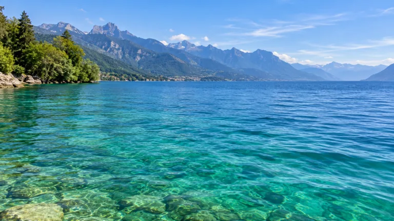
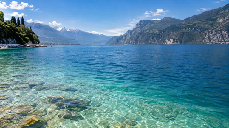
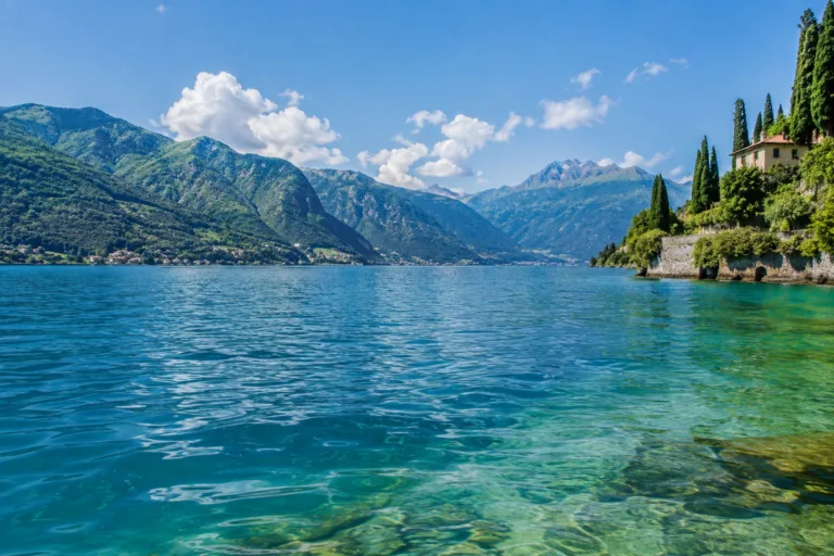
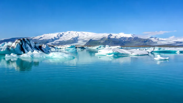
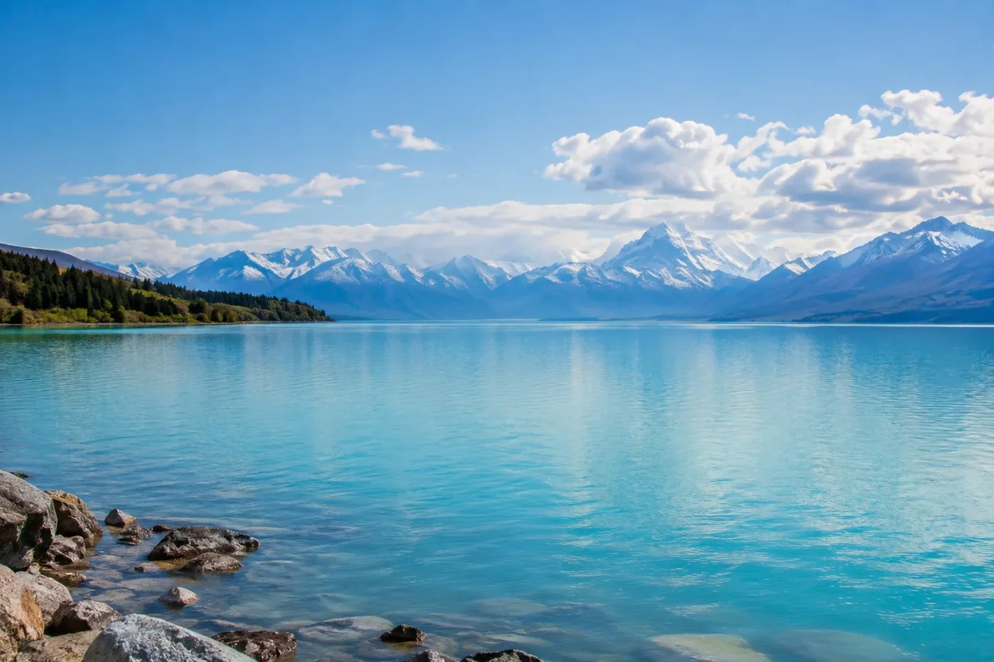
Lake Pukaki’s milky blue-to-turquoise appearance comes from fine mineral sediment suspended in the water. Tasman Glacier is an important source, but the sediment story is broader: meltwater from the Tasman and Hooker glaciers reaches the lake through the Tasman River, while lake research also describes sediment supplied from Mueller and other glaciated parts of the catchment. Those tiny mineral grains keep the water naturally cloudy and alter which wavelengths of sunlight return to the eye.
Tasman Glacier Is a Major Source, Not the Only One
Glaciers create rock flour by grinding bedrock beneath moving ice. In the Lake Pukaki catchment, this fine material is carried downstream with meltwater. NASA identifies the Tasman and Hooker glaciers as sources whose meltwater reaches Lake Pukaki through the Tasman River, and field research on the lake describes summer water supply from Tasman, Hooker, Mueller and smaller glaciated drainage areas.
This makes “Tasman Glacier silt” a useful shorthand, but not a complete description of the lake’s mineral load. The Tasman River is the main delivery corridor at the northern end of the lake, while the suspended material represents a wider glaciated catchment.
Fine Silt Makes the Water Milky Instead of Clear Blue
The particles responsible for Pukaki’s appearance are extremely fine. Lake-sediment research describes fine silt and clay, while glacial-flour studies explain why grains of this size can remain suspended long enough to influence the lake’s optics rather than dropping rapidly to the bed.
Sunlight entering the water is filtered by both the water itself and the mineral particles. Water removes much of the longer-wavelength red, orange and yellow light, while glacial flour also changes absorption and scattering at shorter wavelengths. The light returning from the lake is therefore weighted toward blue and green, producing the familiar turquoise color. When particle concentration, illumination or viewing conditions change, the same sediment-rich water can look more muted, blue-grey or milkier.
Pukaki can be intensely blue-green while remaining naturally turbid. The suspended mineral particles that help create the bright color also reduce transparency, so a vivid surface does not mean exceptionally clear water.
Natural Turbidity Is Not the Same as Algal Greening
Mineral sediment matters when interpreting Pukaki’s cloudy appearance. Historical lake research describes glacial turbidity throughout the year, and recent Environment Canterbury sampling at the southern end continues to record measurable turbidity. In the January–April 2026 samples, chlorophyll-a remained low while turbidity was still present. That pattern is consistent with suspended inorganic sediment remaining an important control on water appearance rather than dense algal biomass being required to explain the cloudiness.
The distinction also explains why water-quality interpretation based only on visual clarity can be misleading in a glacier-fed lake. Reduced clarity may occur naturally because the catchment continually supplies fine mineral particles.
Year-Round Turbidity Does Not Establish a Peak Turquoise Month
Published work describes Lake Pukaki as turbid throughout the year, which supports a persistent glacial-flour color identity. A January field campaign also documented active suspended-sediment transport during the glacier-melt season. The same sediment study suggested that strong sediment input may occur around early spring as snowmelt begins, but that observation does not provide a measured month-by-month color curve.
There is not enough direct color measurement to label one month as the lake’s definitive turquoise maximum. Seasonal melt, sediment delivery, lake level, sunlight and weather can change the visible intensity without proving a repeatable annual hue peak.
Suspended Silt Can Travel Far Beyond the Northern Delta
The Tasman River does not simply deliver sediment that immediately settles at the top of the lake. Measurements made in January 1998 showed sediment-laden water moving as a near-bottom underflow close to the river mouths. Farther into the lake, part of that flow separated into a suspension interflow and a deeper underflow, while a suspension overflow was also observed moving down-lake.
That layered transport helps explain how glacier-derived fines can influence a large body of water rather than remaining confined to the inflow delta. It also makes Pukaki’s color story more than a simple shoreline effect: mineral particles are redistributed through different depths and pathways within the lake.
Sources
- NASA Earth Observatory — How Glaciers Turn Lakes Turquoise
- Chikita, Halstead & Carter (2000) — Sedimentary Environments in Lake Pukaki
- Irwin (1972) — Sediments of Lake Pukaki
- Environment Canterbury — Lake Pukaki Southern-End Water Quality Data
- Earth Sciences New Zealand — Why Rivers Get Clearer as They Flow Downstream
- Wikidata — Lake Pukaki (Q1347588)